Time to reflect
 |
|
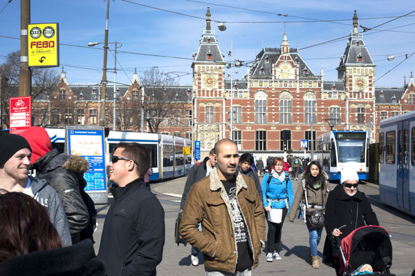
Central Station is the city's rail hub. |
Were you to walk east from here you'd arrive at Central Station, the city's rail hub. But unless I'm actually taking a train I avoid that chaos.
Instead, heading west brings me to a stretch of stylish new apartment buildings extending straight out into the IJ, each with its own quayside lined with pleasure boats.
This arm of land is a man-made island, called Westerdok, built in the 19th century to accommodate Central Station.
The island was created as a kind of parking lot for trains. That was no longer necessary by the late 20th century, whereupon it was reinvented as a neighborhood.
Next to Westerdok is a cluster of three more artificial islands whose distinct character derives from the fact that they were created in the 17th century.
In the process of digging the canals that make up what is today Amsterdam's most distinguishing topographical feature, the city planners of the golden age found they had a lot of extra dirt. They solved that problem by using it to create more living space in the harbor.
Crossing a little bridge onto Prinseneiland, the prettiest of the three, is one of my favorite things to do in the city, for even though you're still in Amsterdam, you get an instantaneous feeling of having stepped into a 17th-century fishing village.
Little wooden drawbridges connect these three islands. In nice weather I'll bring my broodje haring (herring sandwich) to a bench here and contemplate the big old sailing ships and barges anchored at the inlets.
Back on the mainland, I swing up onto the Haarlemmerstraat again (actually, it changes name midway, and here is called the Haarlemmerdijk). Thirty years ago this was one of the city's rougher neighborhoods, but a public-private initiative revitalized it so that it is now a hip shopping street.
Here and there the line of old brick facades is broken by 1980s-era buildings that just don't fit their surroundings.
Behind the tiny shops of the Haarlemmerdijk are quiet complexes of town houses and apartment buildings, sculptured around pretty little gardens. Tulips were just coming up. The idea in the 1980s was the same as in the 17th century: Find new ways to maximize the space.
Of course, space is at a premium in cities everywhere. But few places have the constraints of Dutch cities.
The buildings along the Haarlemmerstraat highlight one of the challenges that have always faced residents. Postcards of Amsterdam canal houses showcase their photogenic tilt.
But the tilt isn't there for charm; it's an indication of seriously unstable subsoil. You can't build very high in Amsterdam, and even three stories may result in structural shifting to the point that a house's foundation has to be redone.
Heading back to my office brings me to the place where the street crosses over the Prinsengracht, one of the main canals that define the city center.
The old locks that dominate this spot where the canal grid meets the harbor underscore the point that while, like the tilting houses, the canals are seen today through the prism of quaintness, they were built out of necessity. In a country where much of the land is below sea level, managing water flow was and remains a basic element of survival.
Walking Amsterdam is, among many other things, an atmospheric object lesson in how humans solve problems that they themselves created.
The New York Times


